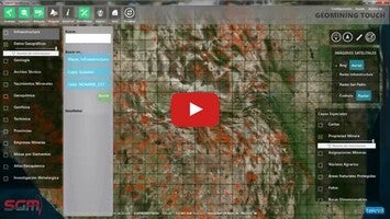
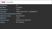
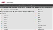
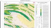
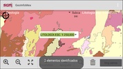
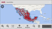
GeoInfoMex is a comprehensive application designed to provide in-depth geoscientific information about Mexican territory. Users are offered a wealth of data, including geological, mining, and geophysical mapping. The application integrates various levels of details, such as insights on mines, beneficiation plants, and ornamental stones. Additionally, it features information on agrarian cores from the National Agrarian Registry, as well as protected natural areas managed by CONANP. For those interested in seismic activity, the app presents data from SSN and IG-UNAM, and it also covers hydrological basins from the National Water Commission (CNA). This tool is invaluable for professionals and enthusiasts seeking detailed geographical and environmental data of Mexico, enhancing research and knowledge with its rich dataset and user-friendly interface.
GeoInfoMex incorporates an extensive array of resources to cater to a broad range of geoscientific interests. The platform allows for a deep dive into the various aspects of Mexico's geology and natural resources, ensuring that valuable information is accessible to users. With a highly intuitive layout, it simplifies the process of obtaining and understanding complex data, supporting informed decision-making in fields such as environmental protection, resource management, and academic research.
In summary, GeoInfoMex stands as an essential source for anyone needing detailed and reliable geoscientific data on Mexico. Its well-structured and comprehensive content allows users to gain new insights and expand their understanding of the country's geological and environmental landscape.
Requirements (Latest version)
- Android 4.0.3, 4.0.4 or higher required





Comments
There are no opinions about GeoInfoMex yet. Be the first! Comment